Keep on Track
Every year thousands of people end up calling for help because they are lost and/or tired. It’s important to know where you are and where you are going.
Sticking to your chosen route is important but can be tricky; making good decisions based on some simple steps can keep your day on track.
Be AdventureSmart to stay on track
Getting lost isn’t fun. To be absolutely sure of where you are and where you are heading, learn a simple compass skill to keep you on the right path. Using a map and compass for your trip might seem unnecessary and complicated and many people now use a phone-based app but carrying a paper map as well and knowing how to use it is important to ensure you stay on your chosen route.
Before you set off…
- Check the weather forecast; check for the highest point on your route and for your start and finish time. Plan for a day when good visibility is forecast and you have plenty of daylight hours.
- Download OS Locate and all the maps you need (you can’t always rely on a mobile phone signal in the great outdoors). Pack a waterproof paper map as well.
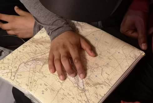
- Plot your route on the paper map and identify key features, such as paths, fences, walls, streams, ridges, valleys and buildings along your route so that you can look out for them during your walk/ride.
- Fully charge your phone and pack a charged power bank in a dry bag (a ziplock freezer bag works as a cheap option). You will need to keep some charge in case you need to make an emergency call.
- Switch your phone to flight mode to make your battery last longer. You can still use it to navigate.

Which way are you heading?
Before you start walking, locate where you are on your map and align your map with what you can see. You can do this by either;
a) matching the paths and key features you can see around you with the features you’ve identified on the map e.g. paths, fences, walls, streams, ridges, valleys, summits, or
b) by using the location indicator on a map app. This is usually a small red arrowhead or pin symbol).
Once you are sure of the path you wish to follow; Set off following your chosen path and stick to it!
How far have you walked and how long has it taken?
Most maps have grid squares on them. The length of each square usually represents 1 km on the ground and the diagonal measurement of the square represents 1.5 km on the ground.
People generally walk between 3 or 4 kilometres an hour on a good flat footpath. This will probably be reduced to between 2 or 3 kilometres an hour if there is a lot of uphill.
Keeping an eye on how long you have been walking will help you work out how far you have walked.

Know where you are…
Have the map to hand and note the key features (path junctions, streams etc) and the time that you pass them, so you can regularly check your progress along your route.
Use features to work out if you have overshot a path junction. For example, a bridge might cross a stream shortly after the path junction where you wanted to turn off.
If you are unsure of where you are…
- Stop and take a good look around you, note all the key features
- If there are others close by, you may wish to ask them for help but don’t follow them unless you know where they are going and it’s where you want to go.
- Backtrack along the path to your last known point.
- Don’t be tempted to take a shortcut across country as this increase the chance of you becoming lost and requires additional map and compass skills.
One simple compass skill to keep you on track
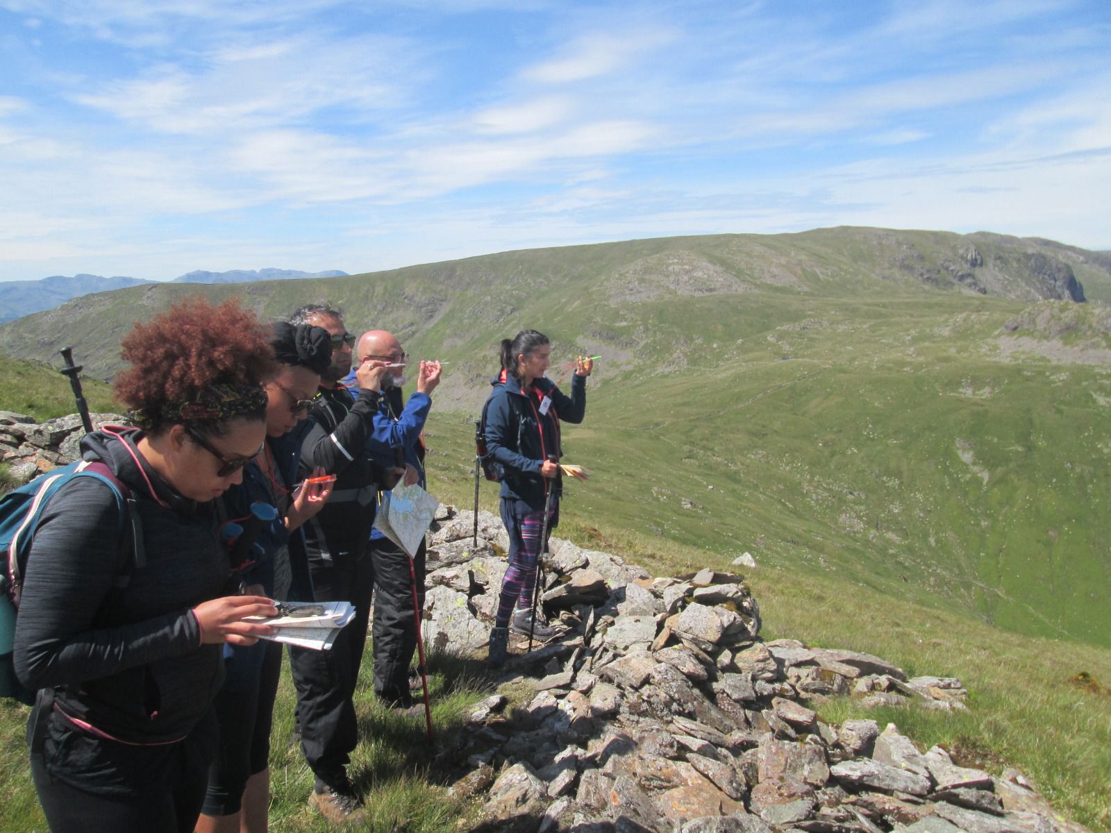
Using a compass at key decision points such as path junctions or at the summit of a hill/mountain will help you work out which direction you need to be heading in, especially when it’s hard to see where you are going due to low cloud, mist, fog or nightfall.
Here’s our simple guide;
- Before you set off, use a red pen to mark the north (top) edge of your map, download OS Locate and/or pack your compass.
- Turn on OS Locate on your phone and switch to compass mode, then lay your phone or a real compass, if using one, anywhere on your map.
- Ignore all the lines and numbers on the compass, simply align the red end of the compass needle (north pointing) to the top of the map (north edge, which you marked red before setting off). Remember RED to RED.
- Keeping the map still, move your body around the map to look in the direction of the path you wish to follow.
- Once you are sure of the path you need to follow, don’t leave the path, stick to it!

If you want to find out more about map and compass skills, check out the following:
National Navigation Award Scheme
Mountain Training: Hill Skills

